‘Tis the Season To Count Birds – Vol 2.
Patrick Meeker
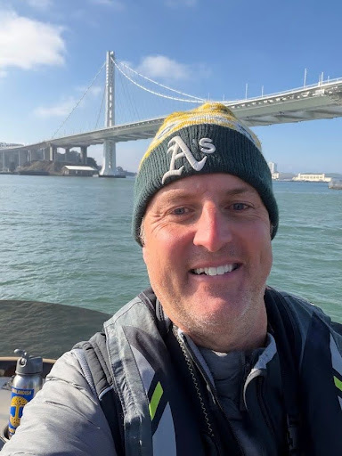
It was 6:15 in the morning and I was ready to roll.
Once I scarfed down my paltry breakfast, a bowl of Rice Chex, my ride was there, ready to drive us down to the shores of Alameda via the Oakland Yacht Club. Sitting there at the end of the dock, there she was: “Sparky,” a modest fishing vessel that was participating in its 4th consecutive Christmas Bird Count (CBC).
 “Sparky” / Bruce Mast
The fog was coming in thick across the San Francisco Bay as our boat launched from the dock. It was cold—the kind of cold that bites at your cheeks and makes you acutely aware of every breath. Yet as I settled into my role for the day, binoculars snug around my neck, life jacket firmly attached, my iPhone charged up and eBird open at the ready, I felt something more than the chill of the day.
I felt connection.
This being my 10th consecutive CBC, the day represented far more than tallying species for me. It was a commitment I’d made to myself months ago—a promise rooted in my deepest values: building meaningful relationships and staying connected to nature. As the boat cut through the water, I was beginning to see how this single day embodied everything I am preaching: intentionality, presence, and the courage to show up for what matters.
Being Intentional and Showing Up
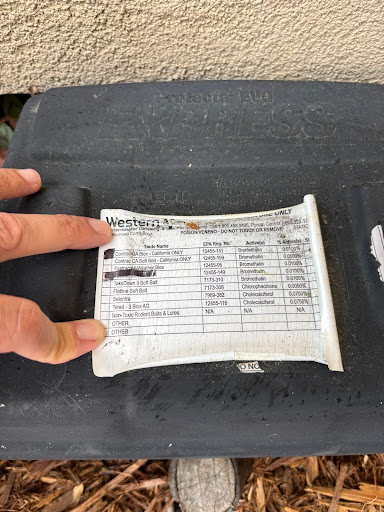
It was my intention to be more involved with the Golden Gate Bird Alliance this year. Not only would I be participating in the Oakland CBC again, but I wanted to get up close and personal with the data behind the count and become a compiler, which meant I would be part of a team putting together the final tally of bird count data for the entire day from all groups participating. This required blocking much of my calendar, coordinating with other dedicated people who also did this in their free time, and ultimately making space for something that fills up my cup.
It was then that I realized I needed to ask myself: how is it that some of us struggle to honor our commitments to the things we value most? In theory, we know what matters; our relationships, our health, our connection to something larger than ourselves, yet we let the daily grind pull us away.
As I’ve begun to venture into new territory around coaching and building something of my own, I’ve learned that showing up, even when it feels inconvenient, is the foundation of a mindful and productive life.…
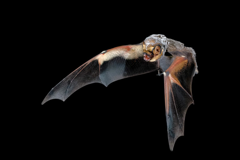
 Hoary Bat in flight / Josh Hydeman
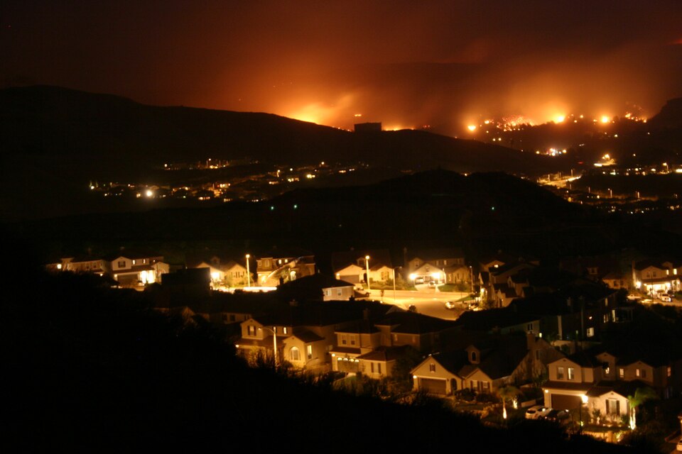 Santa Clarita Wildfire by Jeff Turner,
  Ariel View of Carquinez Strait via U.S. Army Corps of Engineers Digital Visual Library CC BY-SA 3.0
 Photo by Keith Maley