Living shorelines & Pier 94 Wetland

THe Problem

The San Francisco Bay estuary was once surrounded by many different shoreline ecosystems, supporting an abundance of birds and other wildlife. Since European colonization and subsequent development of the Bay, 90% of the historical wetlands have been lost.

Sea level rise and storm surges are already threatening both wildlife habitats and human infrastructure along the shore, and climate change impacts will continue to worsen throughout the century.

The SOlution

Living Shorelines: protect what’s left, and restore what we can!

Wetlands and other shoreline ecosystems not only provide critical habitat for birds but also sequester carbon, protect the shoreline from erosion and flooding, improve water quality, and support cultural and recreational use.

What is a Living Shoreline?
Marshes, beaches, rocky shorelines, oyster reefs, and eelgrass beds are all examples of natural living shorelines. These ecosystems and features occur from below the low-tide line in the subtidal zones, all the way up into the terrestrial areas near the shore.

Traditionally, engineers have used hard infrastructure such as seawalls, concrete barriers, rip-rap, or concrete channels to prevent flooding and protect the built environment. These non-living solutions are also called “gray infrastructure.” Natural shorelines, in contrast, are considered “green infrastructure” and can provide protection of shorelines while providing habitat for wildlife. Engineered Living Shorelines exist on a spectrum of “green to gray.” Even a seawall can be redesigned to have natural elements such as surface texturing to support invertebrates like native oysters.

Learn more about one Living Shoreline type in this short film, featuring key figures from the Estuary & Ocean Science Center, the State Coastal Conservancy and the Studio for Urban Projects. This film was made by Packard Jennings in 2024.
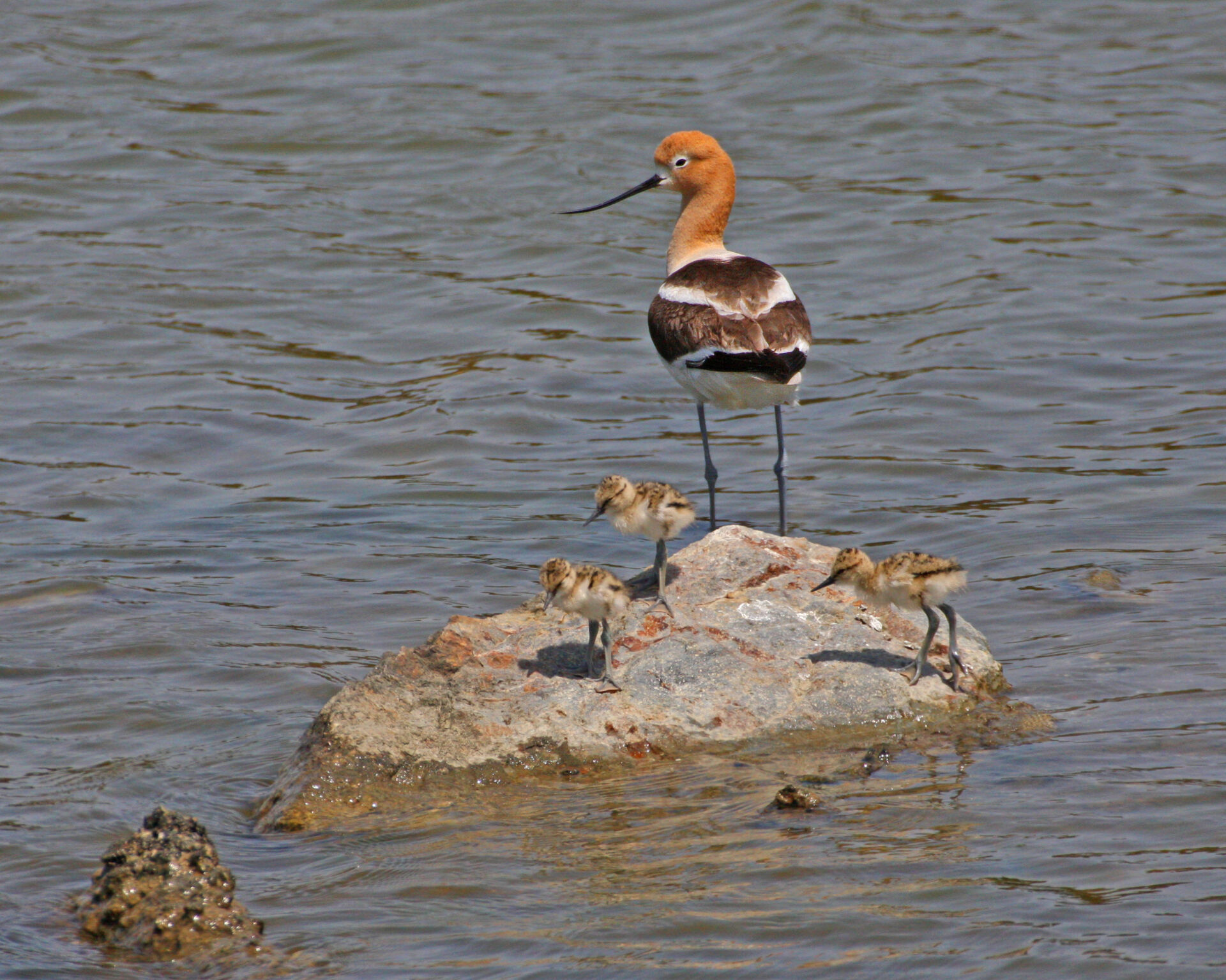
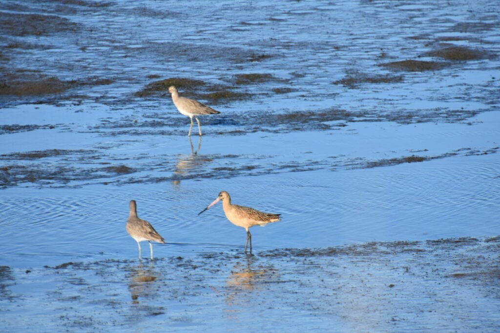
American Avocet / Glen Tekpe
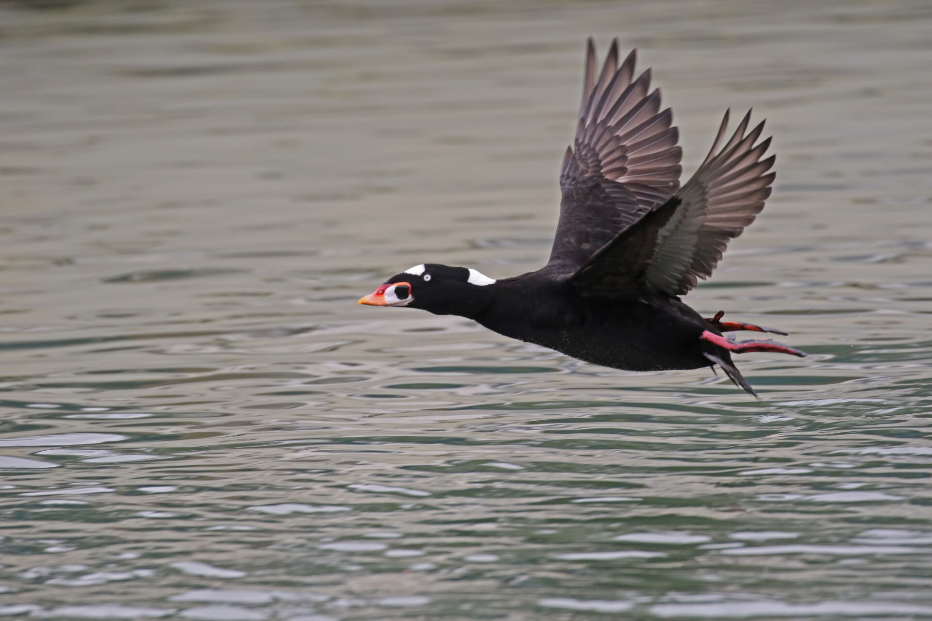
Surf Scoter / Glen Tekpe

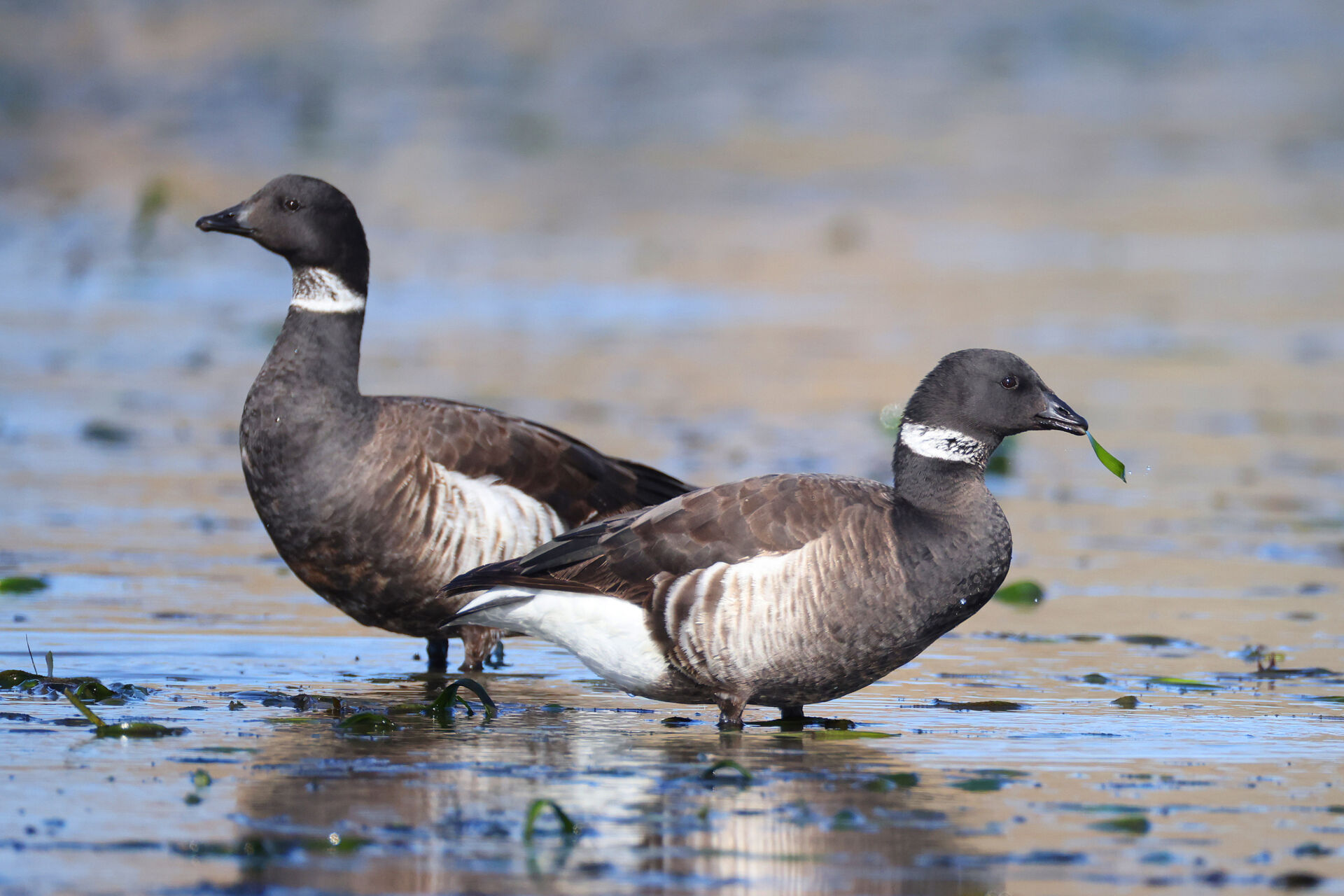
Brant / Phil Chen

What is ggba doing to support living shorelines?

Golden Gate Bird Alliance has been protecting and restoring Bay Area shorelines for over a century.
Learn more about our active projects below, including how you can get involved.

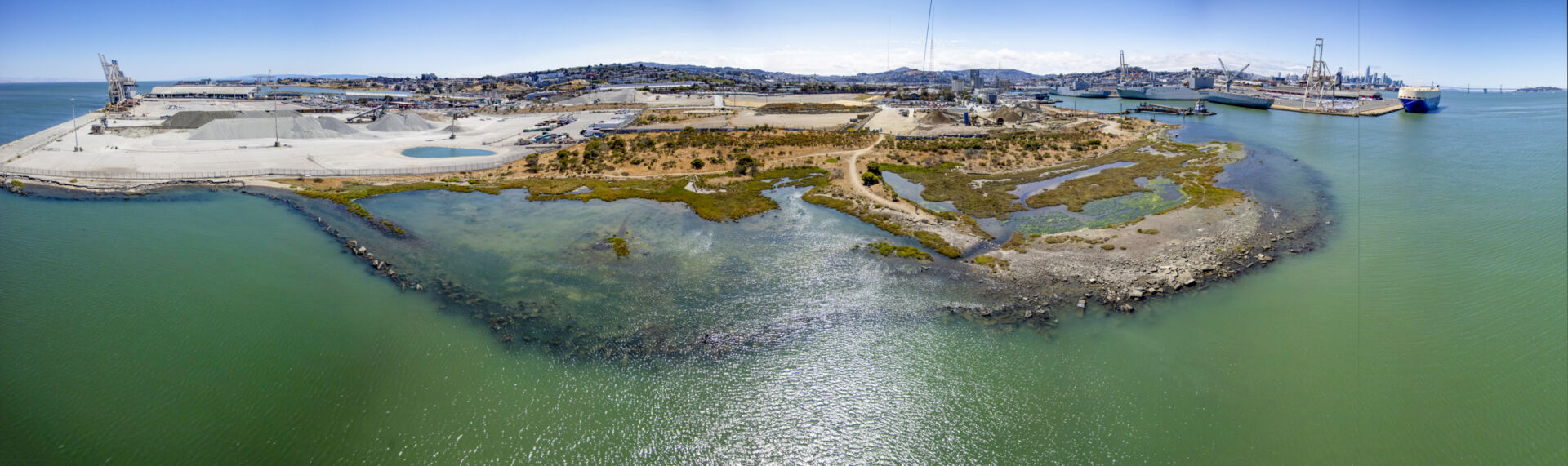
Pier 94 Wetland is a 9-acre restored tidal marsh owned by the Port of San Francisco and managed by GGBA. We host a monthly regular habitat work day on the first Saturday of the month from 10am-12:30pm. Join us by clicking the “Volunteer” button above!

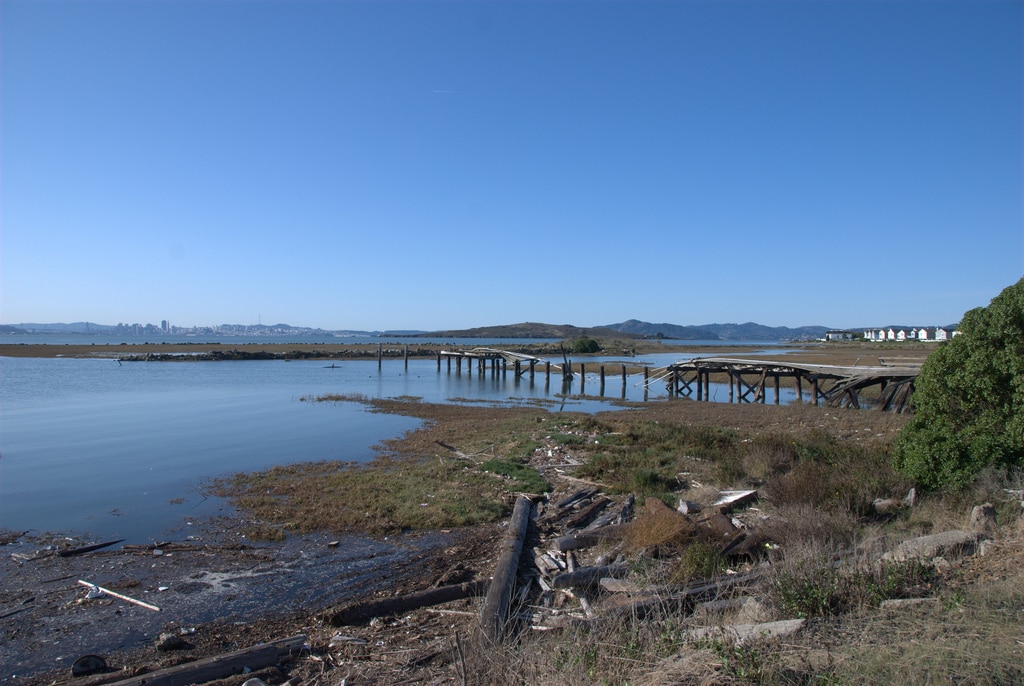
In the early 2000s GGBA, in partnership with the Port of SF, The State Coastal Conservancy, SF Bay Estuary Partnership, Martin Marietta (formerly Hanson Aggregates), Dr. Peter Baye, and others, began the restoration of a tidal marsh at the site of the former Pier 94 in San Francisco. The site was once an industrial landfill and is still surrounded by industrial and active maritime use. The Islais Creek mouth lies at the north side of the site, comprised of 5 acres of uplands plus 4 acres of intertidal and subtidal areas. 

Using a grant created by the mitigation funds of the 1996 Cape Mohican Oil spill, the partners set to work contouring the new marsh topography and revegetating the upland and intertidal zones. The sediment was sourced from the excavation of the Salesforce Tower foundation and Hanson Aggregates (now Martin Marietta) donated their time and machinery to complete the topographic changes. The rest of the work was all done by dedicated volunteers. In 2002 GGBA hosted the very first volunteer work day at Pier 94 Wetland and we have been hosting a monthly event ever since. 

In 2025 Pier 94 was included as one of the 10 pilot sites in the Regionally Advancing Living Shorelines (RALS) project, funded and organized by the State Coastal Conservancy. Read more about RALS in the tab below.

Key Events in the History of Pier 94 Wetland:

  • 2005-2008 Wetland restoration includes reintroduction of formerly extirpated, endangered California Sea Blight (Californica suaeda), plus removal of Invasive Spartina (cordgrass) and Pampas Grass.
  • 2008 CA Sea Blight successful reproduction on site.
  • 2010 Report by GGBA and Port of SF shows wetland salt marsh vegetation success. State of CA clean water grant Prop 84 grant for 5 year term to improve the uplands.
  • 2011 Upland survey conducted. Test pits reveal landfill and biologist surveys showed 80% of plants were invasive weeds. Permits and lease obtained for the project.
  • 2013 Site specific sediment obtained, tested, delivered, and graded as per engineering diagrams and permit requirements in the upland.
  • 2013-2018 Thousands of native plant seed collected and replanted; 3,500 volunteers planted 5,055 native plants, removed 1,020 30 gallon bags of weeds 109 bags of trash and 15 bags of material recycled.
  • 2015 Peter Baye conducts a site survey and produces a vegetative plan for the upland and intertidal zones. 
  • 2017 Lepidopterist survey documents 20 of 34 SF butterfly species at Pier 94.
  • 2017-2021 GGBA partners with the Smithsonian Environmental Research Center to conduct an evaluation for native oyster restoration at the site. The site is deemed a good candidate for oyster restoration.
  • 2020-2021 GGBA contracts with researchers at SFSU to conduct an Eelgrass restoration feasibility study. The site is deemed not suitable for eelgrass now due to too much tidal action, debris washup, and unsuitable substrate. But they noted that oyster beds will improve the site for eelgrass in the future.

Reports and media coverage (click to download):

The Regionally Advancing Living Shorelines (RALS) Project in San Francisco Bay is a planning project to prepare the designs, environmental review documentation, and permits needed for 10 new living shoreline climate adaptation projects. A goal of the project is to plan and permit the 10 projects in a collaborative, programmatic manner to increase efficiency and serve as a model for other living shorelines projects.

In 2025 Golden Gate Bird Alliance was contracted by the State Coastal Conservancy to manage the design process for the three San Francisco sites: Pier 94 Wetland, Pier 70, and Rincon Park. Marin Audubon was brought on to facilitate the three Marin designs: Estuary and Ocean Science Center, Corte Madera Marsh Reserve, and San Rafael living shoreline. Ducks Unlimited was contracted to manage the four East Bay designs, Cogswell Marsh, Emeryville Crescent, Berkeley North Basin, and Pt. Isabel shoreline, as well as coordinate regulatory permitting for all ten sites.

So far, interdisciplinary design teams have been hired for each of the 3 regions, and they are just getting started on the design process. 60% designs should be complete by mid-2027. Each of the land owners will then get to work on getting to 100% designs and starting the funding and construction phases to build these new living shoreline elements. Golden Gate Bird Alliance, in partnership with the Port of SF, will take the Pier 94 designs and make them happen.

More about the 3 San Francisco Sites, all owned by the Port of San Francisco:

Pier 94 Wetland:

See section above for more details about Pier 94.

Pier 94 Wetlands RALS Goals: Develop and incorporate living shorelines approaches that integrate subtidal, intertidal, and upland ecotone habitats to protect existing marsh, encourage tidal marsh and oyster reef establishment in open water portions of the site interior, and provide additional intertidal, subtidal, and upland habitat benefits. Investigate enhancement opportunities along the Islais Creek mouth, as well as addition of woody elements or other management opportunities.

Rincon Park Shoreline:

Rincon Park is located along the Embarcadero shoreline in downtown San Francisco between Howard and Harrison Streets, just north of the Bay Bridge. The existing shoreline is a vertical concrete seawall. The U.S. Army Corps of Engineers (USACE), in collaboration with the City of San Francisco, are conducting a Flood Study to analyze the coastal flood risk and effects of sea level rise for the 7.5 miles of waterfront within the Port of San Francisco’s jurisdiction, from Aquatic Park to Heron’s Head Park. The January 2024 draft waterfront flood study identified the Rincon Park area as a possible location for additional Bay fill or coarse beach elements to minimize the impacts of coastal flooding.

Rincon Park Shoreline RALS Goals:
The Port of SF is planning to advance design planning for a major waterfront resilience project at Rincon Park as part of a set of early actions towards implementation of a future seawall replacement project along the full 7 mile Embarcadero. The Port of SF anticipates a major capital planning project to elevate the shoreline by six feet, enhance the public park, move the seawall bayward, and incorporate opportunities for living seawall elements and adjacent living shoreline elements in the adjacent nearshore area. This includes opportunities for living seawall enhancements, intertidal rocky shoreline areas, enhanced rock slopes or dynamic riprap, and other innovative engineering with nature design elements that are combined with traditional grey shoreline protection. The RALS design team would be in a supporting role to the Port of SF design team to provide ecological and nature-based engineering expertise to advance living shoreline design components as a part of the Port’s overall Rincon Park Project. The selected RALS design team will coordinate with the Port and their consultants, GGBA, and the Conservancy on design integration of nature-based features in the shoreline and nearshore areas.

Pier 70 Shoreline:
The Pier 70 shoreline lies between the end of 20th Street and 22nd Street on the southern waterfront of San Francisco’s eastern shore. The site is owned and managed by the Port of San Francisco. 35 acres of the Pier 70 onshore area is slated for development of both residential and commercial new buildings. The area was a former shipyard and historically the site was used for manufactured gas power stations, prior to electricity. Remediation and removal of contaminated soils, including capping, has been completed in the onshore areas. The shoreline contains a section of slipways used in the former shipbuilding area that may provide opportunities for intertidal and subtidal ecological enhancement in between the existing gray infrastructure. A derelict wharf lies just beyond the shoreline in the nearshore waters. The Port of SF is planning to have the derelict wharf removed in the future, outside the scope of this design process. Opportunities for the shoreline and nearshore areas include seaweed and rocky intertidal habitat, enhanced rock slope features, coarse beaches, nearshore reefs, removal of pilings and other debris, eelgrass introduction, and/or other innovative nature-based approaches.

Pier 70 RALS Goals:
Enhance subtidal, intertidal, and supratidal zones using living shoreline design elements to increase habitats and shoreline resilience.

Come back soon for more information

See our other habitat restoration opportunities by clicking “VOLUNTEER” above.

Come back soon for more information about our work at these sites


Thank you to these agencies and businesses for funding and supporting our Living Shorelines work!
  • State Coastal Conservancy – funder for the Regionally Advancing Living Shorelines Project
  • Martin Marietta Materials
  • Port of San Francisco