Meeker Slough Cleanup for Osprey Nesting Season… and Beyond
By Cathy Bleier
On March 1, just in time for Osprey nesting season, Golden Gate Bird Alliance and East Bay Regional Parks Department (EBRPD) cooperated in a cleanup of the shoreline and marsh edges near Meeker Slough and Stege Marsh in Richmond. Our immediate goal was to reduce entanglement hazards to Ospreys that can occur as they gather manmade materials for their nests.
The Richmond shoreline, which reaches from Point Isabel (by Costco), past Point Molate and on to Point Pinole Regional Shoreline, has the highest concentration of Osprey nests in San Francisco Bay (22 nests in 2021). The amount of treacherous debris at Meeker Slough and other marshes can increase dramatically after intense storms, like this year’s and last. Some of the worst offenders are plastic twines, cords and fishing line, but these raptors can also get their talons caught in bags, erosion fabric and even clothing. Results can be lethal for both adults and chicks.
 While entanglements can be fatal for ospreys, fortunately the one trailing material here (lower left picture on the posterboard) was disentangled at the Port of Alameda nest by Craig Nikitas of Bay Raptor Rescue with the help of GGBA.
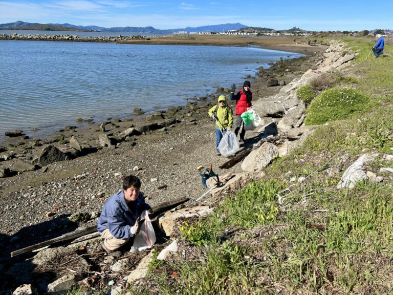
Eager to help, and probably grateful for a break in the rain, over two dozen volunteers showed up for our cleanup event, including members of Golden Gate Bird Alliance, Friends of Meeker Slough, friends of the Osprey cam Ospreys—Rosie and Richmond, and members of the EBRPD public. In total the groups collected around 12 garbage bags worth of waste, adding up to 300 pounds or 360 Gallons of trash, plus some loose pieces of plywood, painted wood, a large plastic cooler, and a plastic bucket.
 Golden Gate Bird Alliance volunteers at the Meeker Slough cleanup – Janet Carpinelli
We were also delighted to learn that a few hours after finishing the cleanup, Rosie the Osprey, was seen arriving at her nest at Rigger’s Loft. Rosie’s arrival inspired five of the nest cam’s live chatters to remove a tarp near the nest that had been disintegrating over the past year.
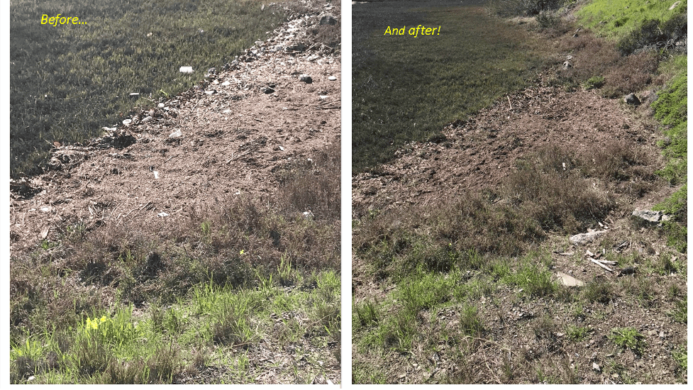 Before and After Meeker Slough Richmond Shoreline Cleanup
Tony Brake, a Richmond resident who has been studying Ospreys since he moved to the area in 2010, has proposed that Golden Gate Bird Alliance hold an annual local cleanup, starting in February. Ideally this would also include Brooks Island (requiring EBRPD cooperation) as well as Point Molate and the Point San Pablo Peninsula where there are over a dozen Osprey nests (a slam dunk Osprey sighting area, by the way).…
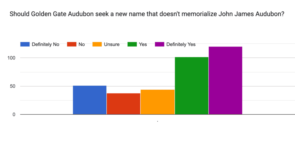 Results from the “Audubon” Name Change Preliminary Survey.
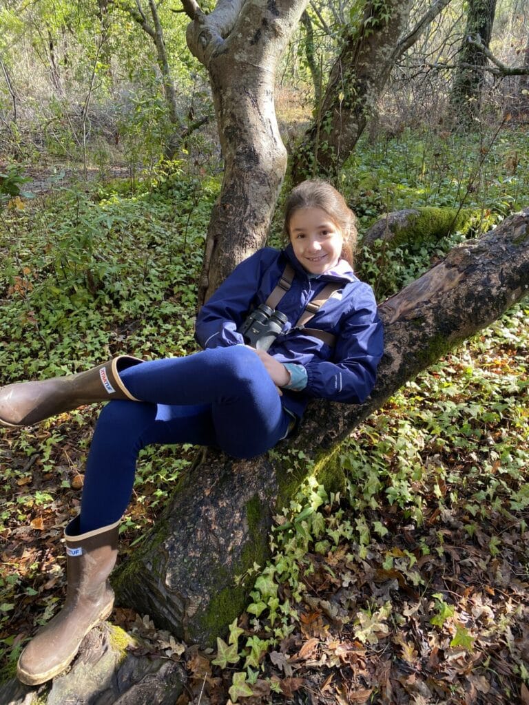
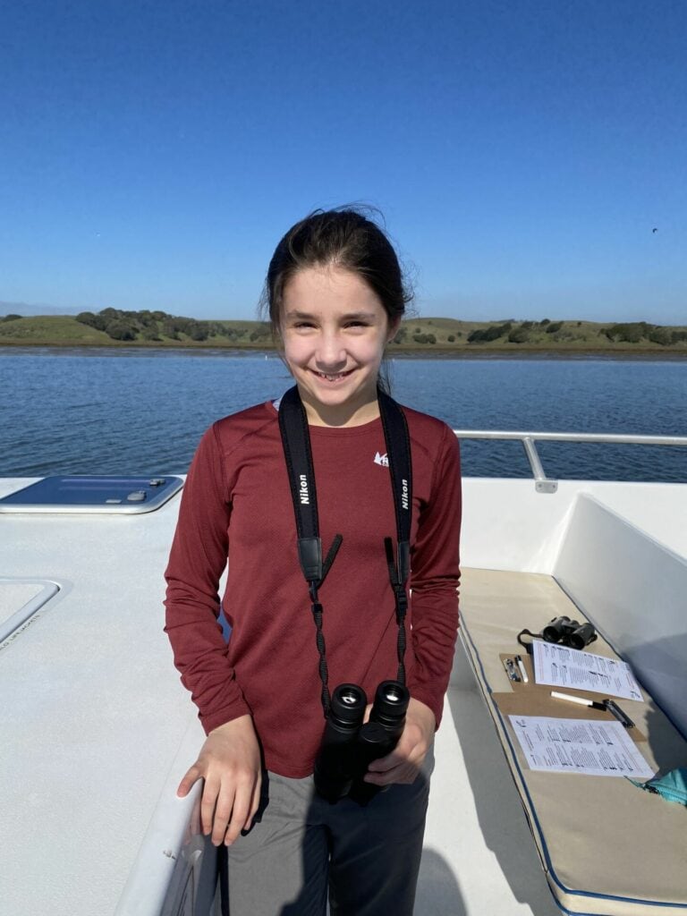 Hannah Breckel on an ecotour at Elkhorn Slough.

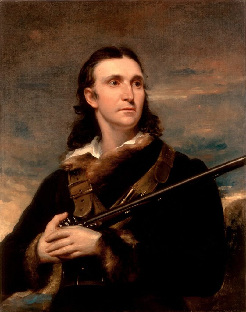 Portrait of John James Audubon, 1826, by John Syme. White House collection.
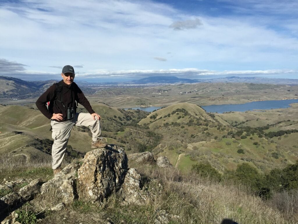 Derek Heins, the team captain of the East Bay Scrub Jays competing in the Bay Birding Challenge this year – photo provided by Derek Heins