Meaningful help for owls
By Eddie Bartley and Noreen Weeden
Ari Dalfen, an “almost” 9-year-old and a 3rd grader, hails from the Richmond District in San Francisco. Recently, along with his moms, Ari visited the California Raptor Center in Davis, CA. The facility is part of the U.C. Davis Veterinary Medicine which treats over 300 hawks and raptors each year for a wide variety of medical needs and also provides information to the public. Ari has always been fascinated by hawks and owls so, after witnessing injured birds being rehabilitated at the Center, he became inspired to do something to help hawks or owls.
For his Jewish Studies class at Brandeis School of San Francisco Ari has been asked to develop a tzedakah project (tzedakah means “justice” in Hebrew) which serves the community and also something that is personally meaningful to him. Ari asked the good folks at California Raptor Center about volunteering but, on discovering he is not yet old enough to volunteer there, realized he had to think outside of the box, so to speak. The Center’s fine website describes how raptors play a critical role in our environment. Owls, particularly Barn Owls, provide significant ecosystem services keeping rodent numbers in check by consuming huge numbers of mice, voles and rats especially during the breeding season.
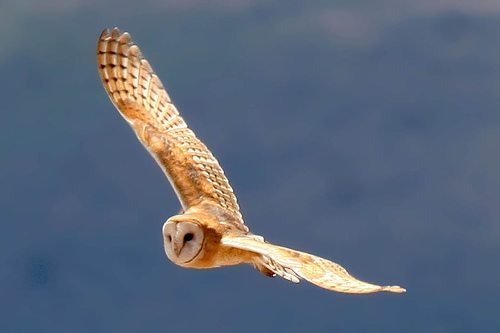 Perhaps this fellow is looking for a home? Photo by Bob Lewis
Reduction of vegetated habitat due to human development pressures in California has depressed wildlife numbers and biodiversity generally and this has had a negative impact on both diurnal (those active dawn and dusk) and nocturnal (those active mostly at night) raptors. A more recent double-whammy to eagles, falcons, hawks, owls and other predators is that powerful modern rodenticides used to poison rodents also causes secondary poisoning to any animal who selects that compromised rodent (an easy target) for prey. A third modern problem for cavity nesting birds, including many owl species and songbirds, is a general lack of natural nest cavities due in part to people’s proclivity to cut dead trees that may otherwise be used for nesting. For many animals the lack of an appropriate nesting cavity is a primary population limiting factor. Fortunately for Barn Owls, people have discovered that installing a specifically designed nest box in an area where rodenticides are not used and in appropriate habitat is a great way to provide a safe nesting place that may not exist otherwise.…
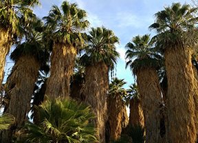 California Fan Palm – Photo: Noreen Weeden
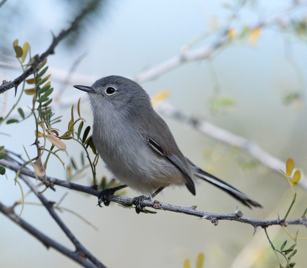 Black-tailed Gnatcatcher – Photo: Eddie Bartley
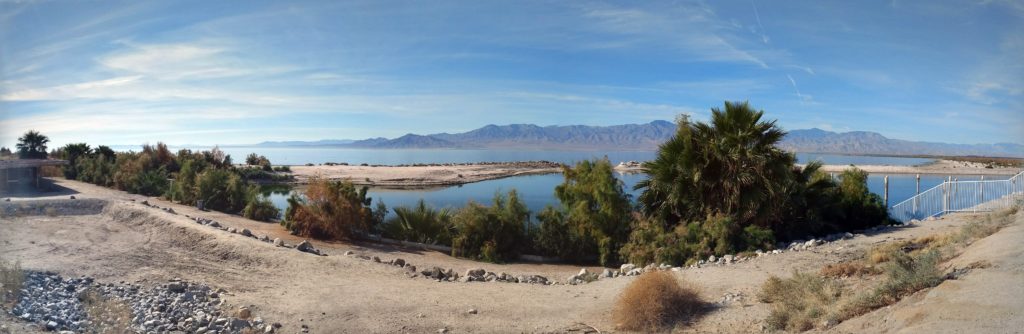 Salton Sea – Photo: Noreen Weeden
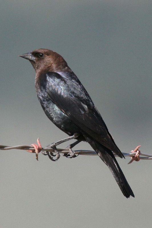
 Brown-headed Cowbird by Eleanor Briccetti
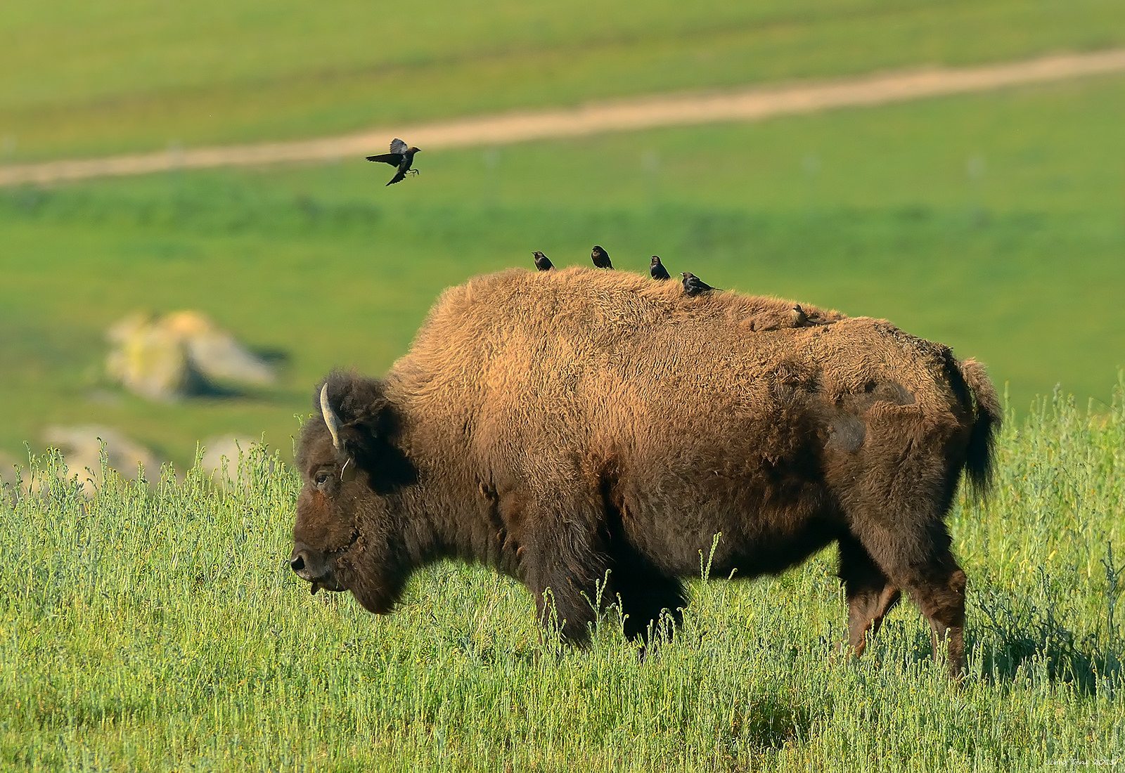 Cowbirds on a bison at Vargas Plateau Regional Park in Fremont, by Jerry Ting
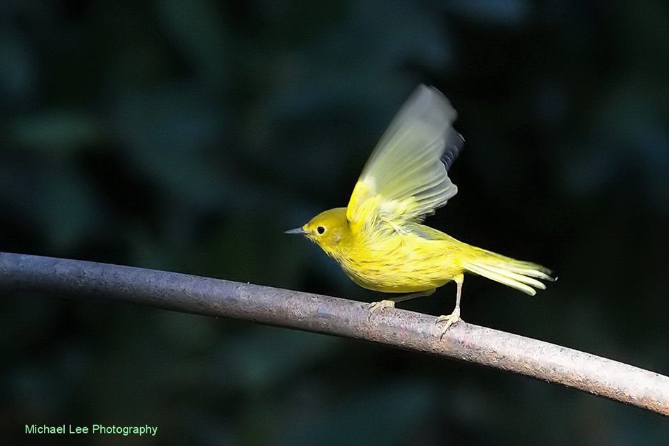 Yellow Warbler is a species that has diminished in San Francisco. Photo by Michael Lee.
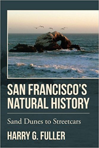 San Francisco’s Natural History, by Harry Fuller
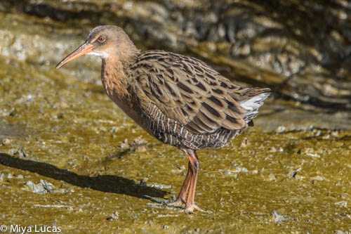
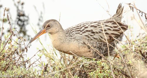 Ridgway’s Rail by Miya Lucas
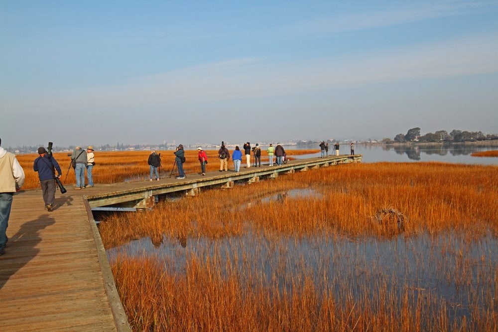 Birders at Arrowhead Marsh in Martin Luther King Jr. Regional Shoreline during a King Tide on January 1, 2018. Note the high water level. Photo by Rick Lewis.