GGBA launches our Centennial exhibit
By Ilana DeBare
Thursday January 12 was officially Golden Gate Bird Alliance Day in the City of San Francisco!
It was also the official launch of our year-long traveling exhibit on A Century of Protecting Bay Area Birds.
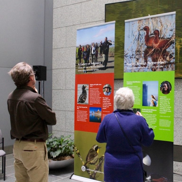
Over 100 Golden Gate Bird Alliance members and friends gathered at the California State Building in San Francisco, where the Centennial exhibit will be on display throughout the month of January. To a background of bird song provided by Dan Dugan of the Nature Sounds Society, people greeted old friends and and viewed the 14 panels of larger-than-life bird photos and stories of GGBA’s accomplishments.
Incoming S.F. Supervisor Jeff Sheehy presented GGBA with a proclamation from the mayor’s office designating January 12 as Golden Gate Bird Alliance Day. Representatives of State Assemblymen Tony Thurmond and Phil Ting presented a proclamation from the California Legislature honoring GGBA’s 100 years of achievements.
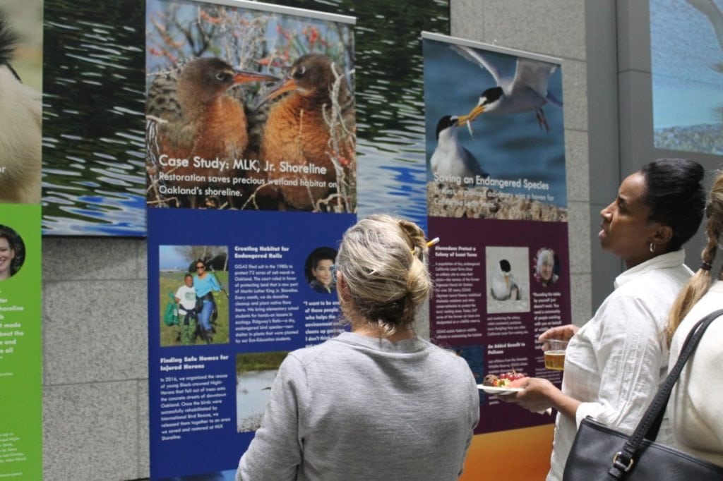 Viewing the exhibit.
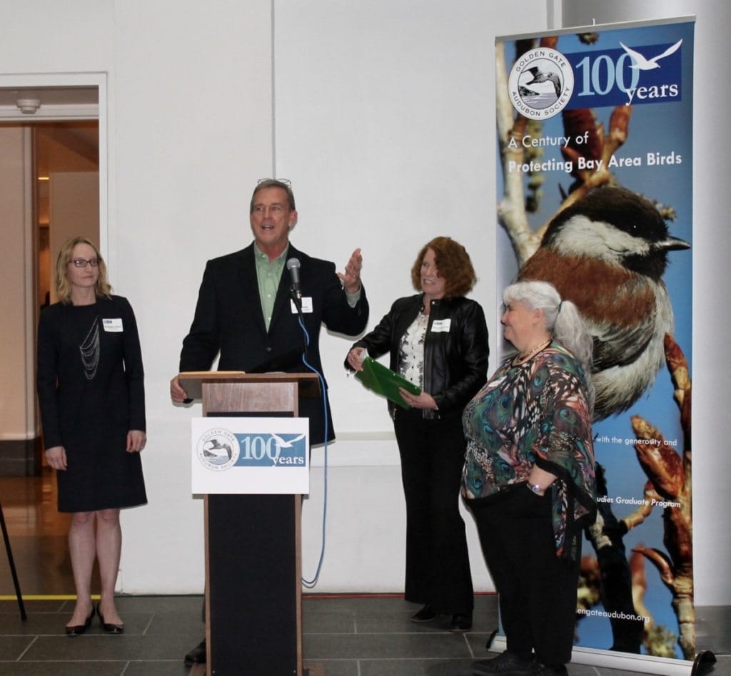 SF Supervisor Jeff Sheehy presents the city proclamation to board member Jill Weeder O’Brien, Centennial Committee Chair Diane Ross-Leech, and Executive Director Cindy Margulis.
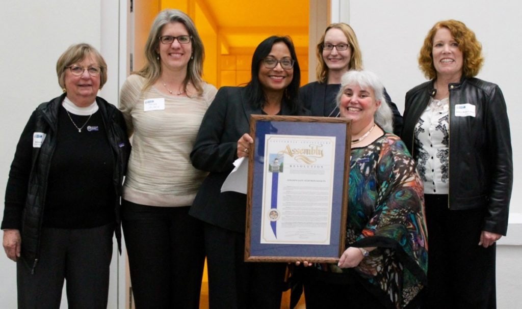 Presenting the proclamation from the California Legislature.
Audubon California Executive Director Bridget McCormack praised GGBA’s contributions to state and national birds conservation, including GGBA’s lead role in making people aware of the need to design and site wind turbines in ways that minimize deadly hazards to birds.
And GGBA Executive Director Cindy Margulis paid tribute to the countless volunteers through the past century who built GGBA into an effective conservation voice, an inspiring leader in nature education, and a welcoming community of people who love birds and wildlife.
Thank you to the Centennial Committee members and the event volunteers who made this a successful launch!
You’re invited to visit the free exhibit during business hours throughout the month of January, in the atrium of the California State Building, 455 Golden Gate Avenue, near Civic Center. Bring a friend: It’s a great way to introduce them to birding and Audubon. Then take a selfie in front of our giant Great Blue Heron panel and share it on social media with the hashtag #ggas100!
Later this year, the exhibit will travel to the Tilden Park Environmental Education Center in Berkeley, Oakland City Hall and the Dalziel Building, the Tides/Thoreau Center at the Presidio, and Lindsay Wildlife Experience in Walnut Creek. Click here for dates and details.
Click here to view more photos from the launch reception on Facebook.…
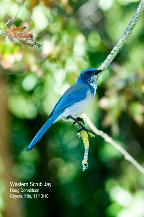 California Scrub-Jay by Doug Donaldson, one of Anne Hoff’s former students
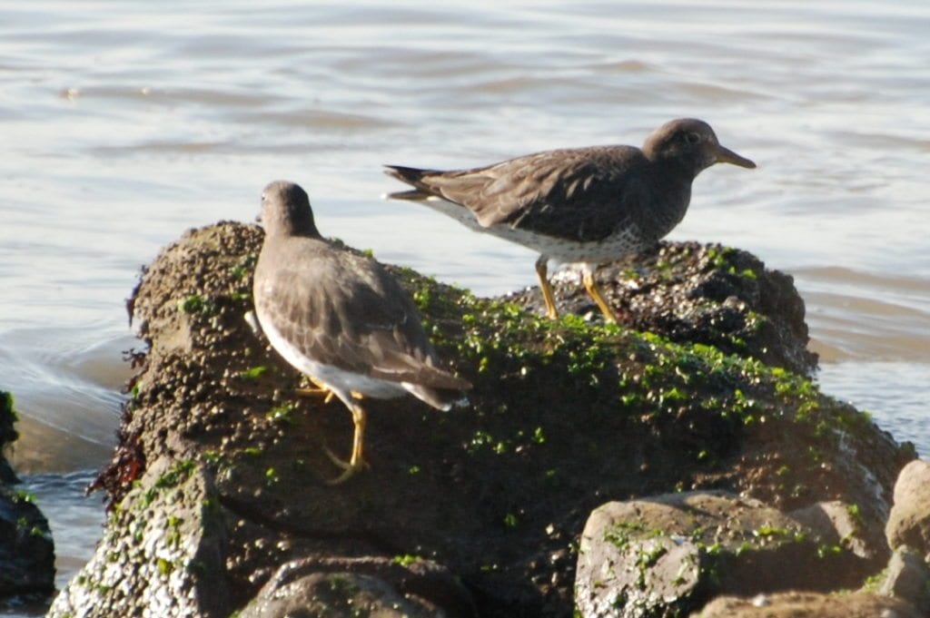 Surfbirds at Berkeley Marina by Karen Anderson, one of Anne Hoff’s former students
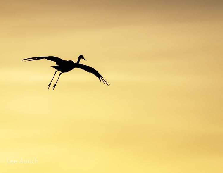
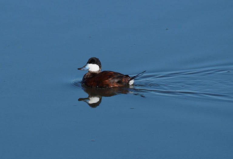
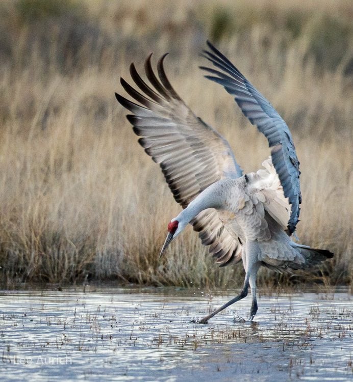 Photo by Lee Aurich.
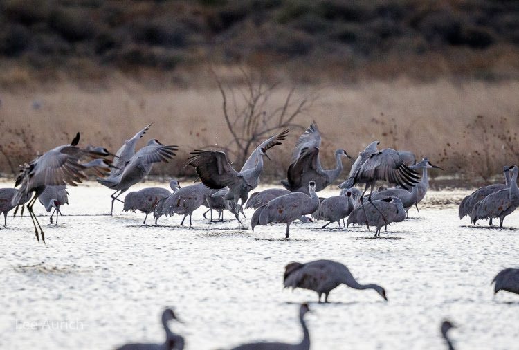 Photo by Lee Aurich.
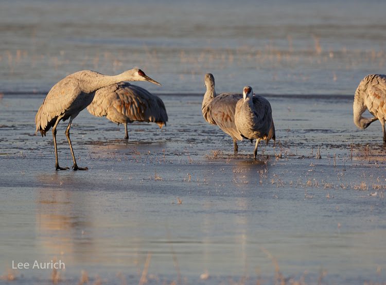 Photo by Lee Aurich.
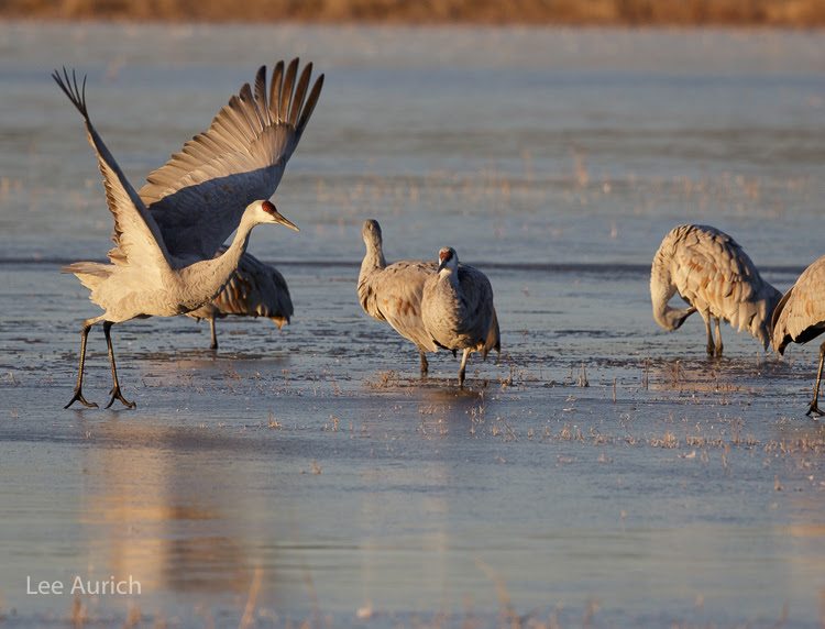 Photo by Lee Aurich
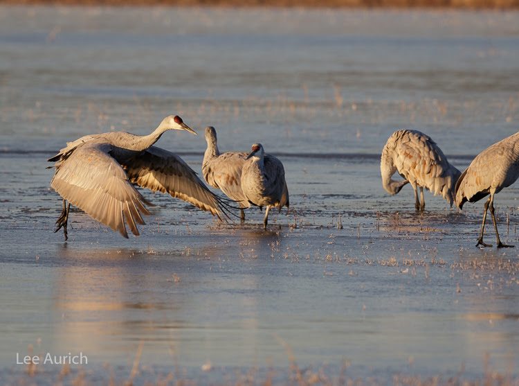 Photo by Lee Aurich.
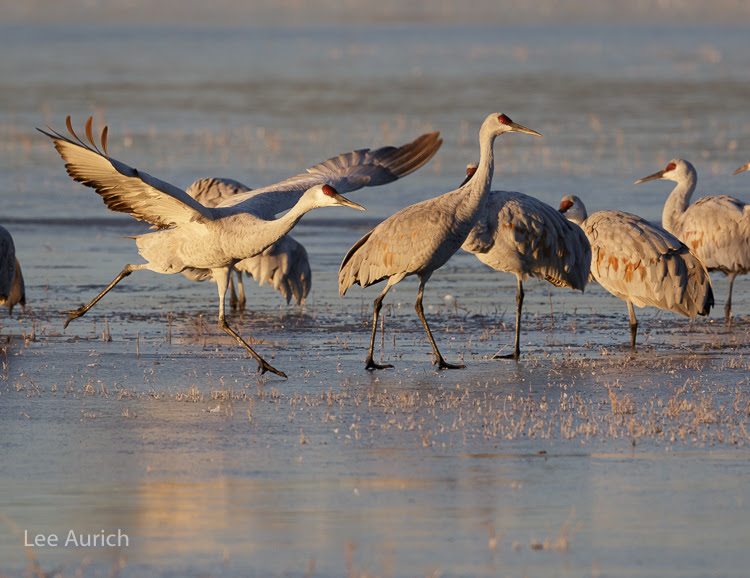 Photo by Lee Aurich
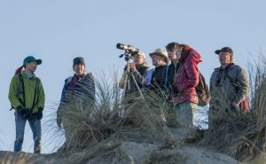 Counting at Ocean Beach. Photo by Sharon Beals.
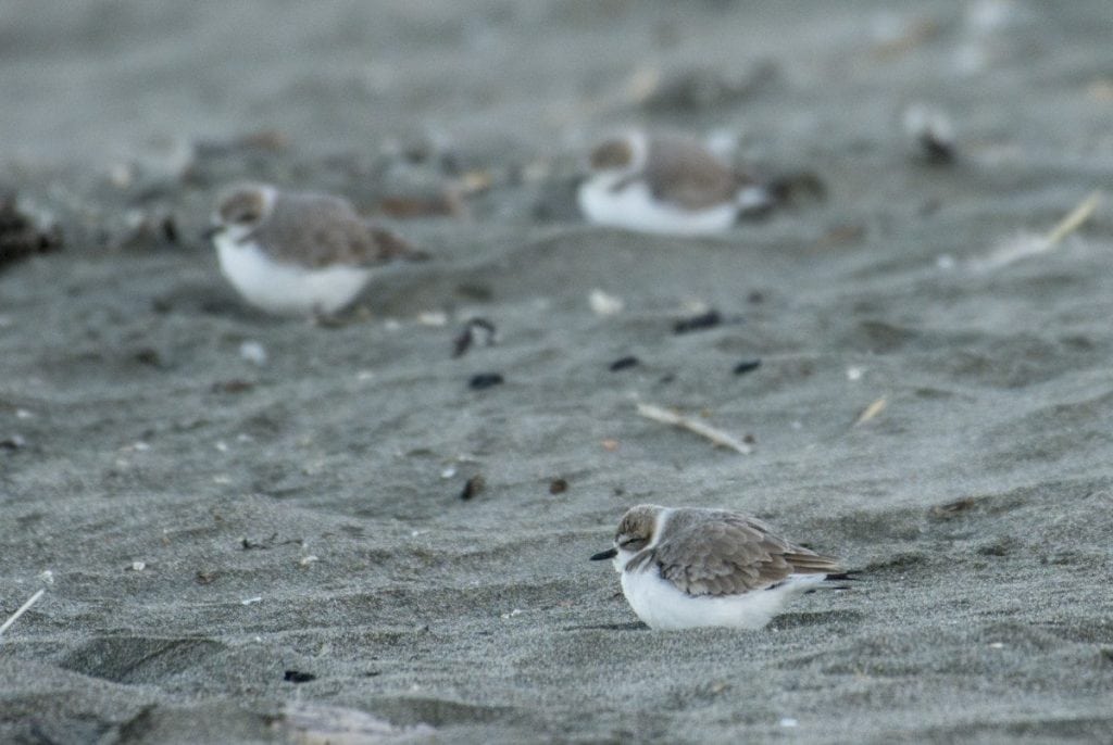 Snowy Plovers at Ocean Beach. Photo by Sharon Beals.
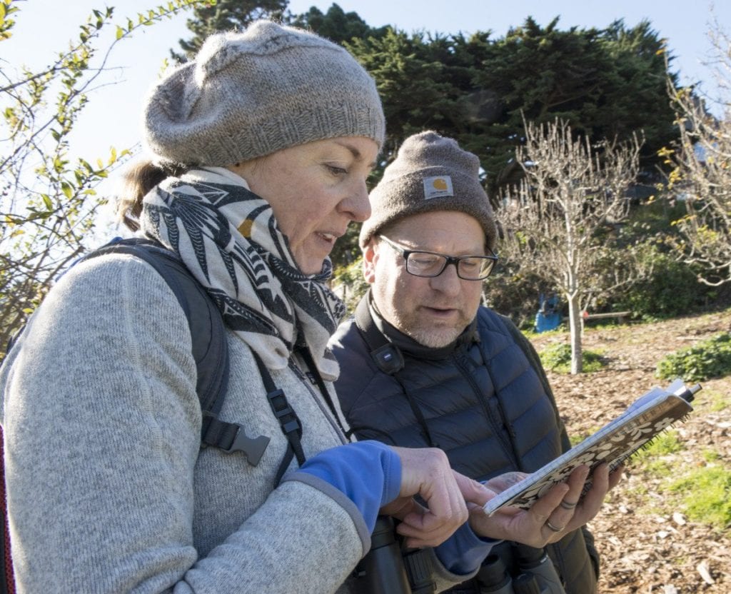 Photo by Sharon Beals.
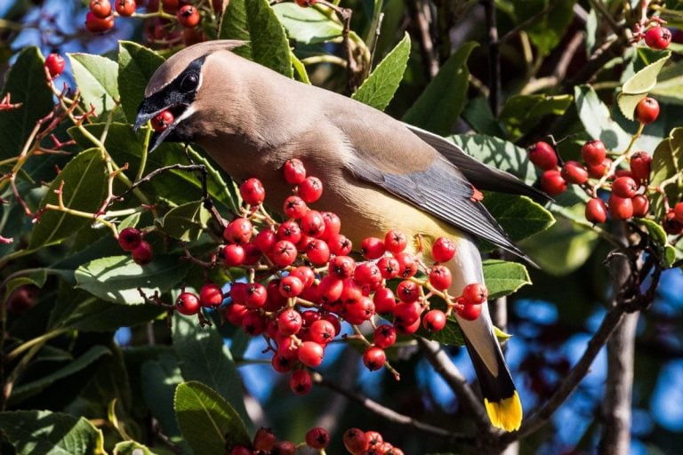
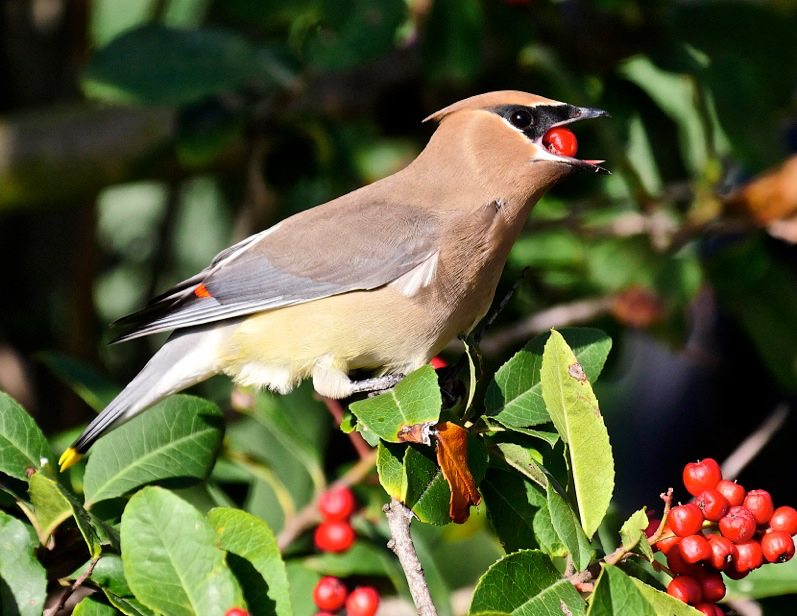 Cedar Waxwing with toyon berries by Evleen Anderson